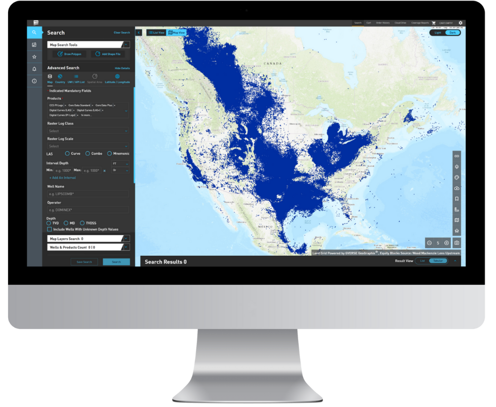


R360TM connects you to the world's largest and most complete well log database through an intuitive map-based interface. Click your way into the hottest hydrocarbon plays and emerging exploration regions. We have more than 8 million SmartRasters, 1.5 million LAS wells, and the numbers keep growing!


TGS
10451 Clay Road
Houston, Texas
77041, USA
Fax +1 713 334 3308|Fax
www.tgs.com
Comments & Questions